San Francisco city agencies, along with business and residents in The City’s southeast sector, have exciting plans for the 13 miles of waterfront stretching from AT&T Park, adjacent McCovey Cove to Monster Park. Their shared vision, which has been dubbed the Blue Greenway, calls for a shared-use (pedestrian and bicyclist) pathway, dotted with open, green spaces, improved bay access points and public art displays.
By Bill Picture
Published: June, 2006
San Francisco city agencies, along with business and residents in The City’s southeast sector, have exciting plans for the 13 miles of waterfront stretching from AT&T Park, adjacent McCovey Cove to Monster Park. Their shared vision, which has been dubbed the Blue Greenway, calls for a shared-use (pedestrian and bicyclist) pathway, dotted with open, green spaces, improved bay access points and public art displays.
The Blue Greenway will close the gap in San Francisco’s segment of the Bay Trail, a continuous 400-mile recreation corridor that, when finished in 2020, will connect the various communities that encircle the San Francisco and San Pablo Bays.
Short-term improvements along this intended stretch of the Bay Trail are already underway, including the striping of temporary bike lanes, the installation of temporary signage and the creation of a public art trail.
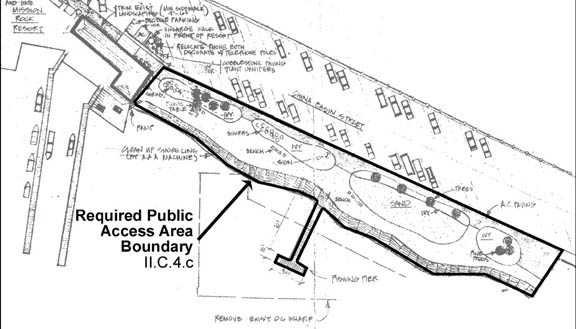
Temporary art installations will be displayed at 8-10 permanent sites along the Blue Greenway path. Three sites have already been selected: Agua Vista Park, India Basin Shoreline Park and Third and Cargo streets.
Mayor Gavin Newsom’s Blue Greenway Task Force, which includes representatives from the San Francisco Art Commission and the Black Rock Art Foundation, put a call for submissions out to Bay Area artists in March. From the first round of submissions, they selected three winning designs, which were announced at a Blue Greenway fundraiser at the 111 Minna Gallery in San Francisco on May 8.
The winners were: Burning Man artist Pepe Ozan, William Wareham, a metal sculptor and SF Recycling & Disposal’s first artist-in-residence, and Topher Delaney, a renowned landscape designer and founder of Seam Studios.
Organizers of the Blue Greenway project (including Mayor Newsom’s Office, the Port of San Francisco, the San Francisco Neighborhood Parks Council, which spearheaded the effort, and the San Francisco Recreation & Park Department) expect the art installations to be in place by the Blue Greenway’s June 24 launch at India Basin Shoreline Park. Most of the other short-term improvements should be completed by that date as well.
The June 24 event will help officially kick off the public planning process. During that process, the Blue Greenway Task Force, whose 75 members represent primarily local businesses and residents, will attempt to formulate a plan and an implementation strategy that is beneficial for all interested parties.
One might suspect that having so many hands in the pot, including those of conservationists and neighborhood associations, would slow the decision-making process. But you’d be surprised how much consensus there is already, says Marshall Foster, San Francisco’s director of City Greening and chair of the Blue Greenway Task Force. I think the bones of the plan will be in place by summer.
When the Task Force convenes again to begin the planning process, one of the first items on its agenda will be the construction of a permanent Bay Trail path. Barring any problems securing funding for the path and the project’s other components (each county along the trail is expected to pay for its own portion), Jeff Condit of the San Francisco Neighborhood Parks Council expects the permanent Bay Trail to be completed within two years. The other components of the project, he estimates, will be completed by 2012. And, in city time, that’s the blink of an eye, he jokes.
Perhaps the biggest challenge facing the Blue Greenway Task Force is a logistical one.
The project’s intended route traverses a veritable checkerboard of public and private land. And, naturally, businesses located along that route, many of which are tenants of the Port of San Francisco, are concerned that having a public path in such close proximity to them may impact their operations. But everyone recognizes the importance of preserving those operations, explains David Beaupre of the San Francisco Port, who also sits on the Blue Greenway Task Force. So we’re going to make sure those tenants aren’t impacted.
We definitely don’t want to push out industry, adds Foster. That’s what makes this area so unique. The Crissy Field approach, with access right down to the water’s edge, won’t work here because water access isn’t feasible at certain points along the trail. The southern waterfront is more about the interplay between industry and waterfront access for the public. Plus, maritime industry is such an important part of the area’s history.
That history will eventually be referenced in signage along the trail, and in a published guide. Artists wishing to participate in the Art Trail are also encouraged to incorporate the region’s history into their designs.
What many San Franciscans may not realize is that the foundation for the Blue Greenway already exists, and has for some time.
Agua Vista Park and India Basin Shoreline Park, for instance, were created a decade ago but have sat relatively unused, even by locals.
I think most people don’t even know that these [parks] exist, says Beaupre. Hopefully, by improving linkages, we’ll get more folks down there.
The mandate [for the project] came from the neighborhood groups, explains Condit. They felt, and the Mayor agreed, that an opportunity was being missed. This could be a real treasure for The City.
[This area] is a cultural resource that hasn’t been tapped into, adds Foster. Some day you’ll be able to have a picnic with your family in a park overlooking a working dry dock. I think that’s pretty exciting.
For more information about the Blue Greenway and the June 24 Imagine the Way event, visit www.bluegreenway.org.
