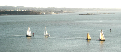
As winter arrives and the hours of daylight decrease, I sometimes find myself sailing on into the dark.
The red and green channel markers at the entrance to the Mare Island Straight are sometimes used as course markers for the Wednesday night regattas held by the Vallejo Yacht Club. Photo by Joel Williams
By Captain Ray
Published: October, 2008
The winds are often gentler and the sailing more mellow, but with sight restricted, finding my way safely about the Bay is different. However, it really isn’t difficult to know where I am in the dark: There are many Aids to Navigation (ATONs) such as buoys, lighthouses and beacons that will help you find your way, if you know that there is a pattern to it all.
The International Association of Lighthouse Authorities (IALA) is the worldwide consultative body that makes recommendations for and coordinates the use of buoyage throughout the world. All of the Americas—North, South, and Central—plus the Philippines, South Korea, and Japan, fall into Region B. The rest of the world is Region A. There are some significant differences between the two systems; this column will be describing System B, the system you can see outside the windows of your ferry.
First, I’d like to describe how Aids to Navigation delineate channels. Channels are paths through the bay where the water is free of underwater hazards and deep enough to provide safe passage for all vessels. Channels are marked by red and green markers. An old mnemonic helps sailors use these markers: RED, RIGHT, RETURNING. Red Aids mark the right side of the channel when returning from sea. The left side of the channel is defined by green marks.
Some aids (called buoys) float in the bay and are anchored to the bottom; others (called beacons) are posts driven into the bottom of the bay where the water is shallow enough. Some (such as lighthouses) are constructed on land or specially built platforms in the bay. Not all buoys and beacons are lighted, but most are. The red marks show red lights and the green marks green lights. These lights can be turned on and off in a variety of ways (called the light’s rhythm). A few of the most frequently used rhythms are: Flashing, where the light is off more than it is on; Occulting, where the light is on more than it is off; and Isophase (also called Equal Interval) where the periods of light and dark are equal. The flashing rhythm is commonly used on buoys to help preserve the buoy’s battery power. Modern buoys are also equipped with solar panels to help keep their batteries charged. The occulting and isophase rhythms are used where the light can be connected to the power grid and does not rely on battery power. The charts (maps used by sailors) identify the rhythm of each of the lights.
Red and white vertically striped buoys mark the center of channels. They show a white light that has a very distinctive pattern, a short flash followed by a long flash. No other Aid to Navigation shows this light rhythm.
There are places where more than one safe passage exists (a side channel branching off the main channel, for example). In such cases, the ‘fork in the road’ is marked with a horizontally banded red and green buoy. The main (or preferred) channel is designated by the top color of the buoy and the secondary channel by the lower color. The color of the light will be the same as the top color of the buoy. To distinguish these marks from ‘regular’ red or green buoys they also get a unique light rhythm, called Group Flashing (2+1). This light flashes twice in quick succession followed by a short pause and another single flash. This group (two flashes, pause, single flash, longer pause) is repeated.
Examples of all the Aids to Navigation described in this column are visible as you ride the ferry from San Francisco to Larkspur or Vallejo. Best of luck picking them out!
Ray Wichmann,
